Wheeler Lake & Valley Crossings
The metro's water wears the reservoir agency's colors: Wheeler Lake pools the Tennessee along the southern edge — Decatur's industrial riverfront on one shore, the wildlife refuge's famous winter flocks on the water, navigation running the channel — and crossing its world means TVA-machinery engineering: shoreline permitting on regulated banks, pool elevations framing the profile, navigation review on the channel reaches, and the refuge's habitat seriousness wherever the protected shore applies. Main-pool crossings run as the major engineering they are, framed honestly at the desk.
The tributaries carry the signature inland: the Flint winding through Madison County's growth arcs, the Paint Rock draining one of the South's most celebrated biodiversity valleys, Limestone and Indian creeks threading the boom corridors — cave-fed streams whose crossings answer state water-quality machinery, habitat conditions in waters biologists genuinely prize, and the cave-country ethic that treats the karst's plumbing as connected, because it is.
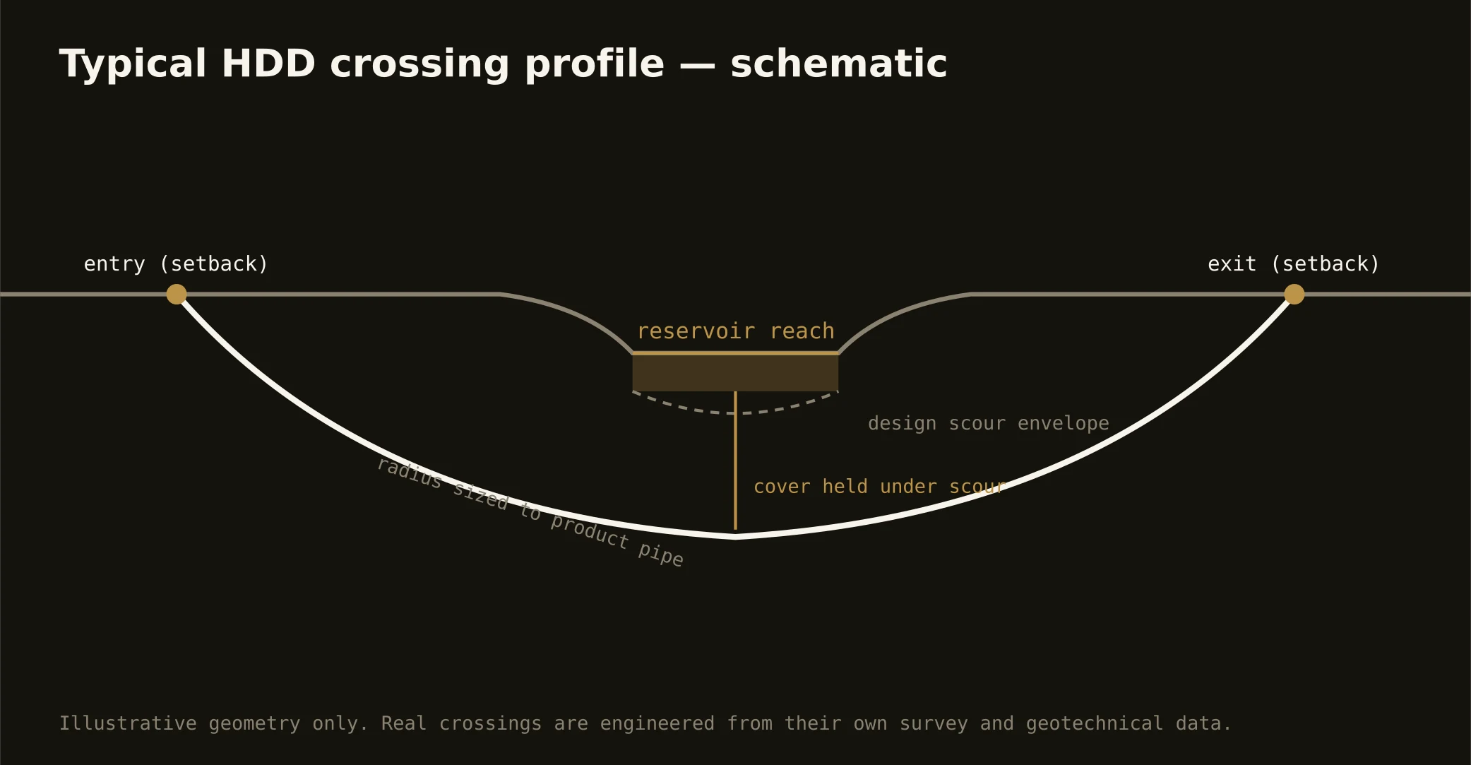
Technically these crossings concentrate the valley's geology: alluvium over dissolving limestone, ledge depths that demand verification, and fluid programs run conservative over rock that keeps voids — containment both banks, monitored returns at spring-country grade, and the response plan written before the pilot turns.